The latest issue of Interface Focus looks at how terrestrial laser scanning is providing new insights into forest ecology and management.

The latest issue of Interface Focus looks at how terrestrial laser scanning is providing new insights into forest ecology and management. We spoke with the organiser, Mark Danson from the University of Salford about the technology and its importance in the study of vegetation.
What is terrestrial laser scanning?
Terrestrial laser scanning (TLS) uses portable devices that fire millions of laser pulses into the environment in order to measure the size and shape of objects of interest in 3D. The laser scanner is normally mounted on a tripod and can measure objects at ranges of up to several hundred metres. A wide range of applications of TLS have been developed over the last decade, including site and building surveying, archaeological mapping, quarry and mine surveys, and 3D modelling of infrastructure. The application of TLS in forest ecology is a more recent innovation and the potential for providing new information for forest ecology and management is only now starting to be explored.
Why is TLS technology important for the study of vegetation?
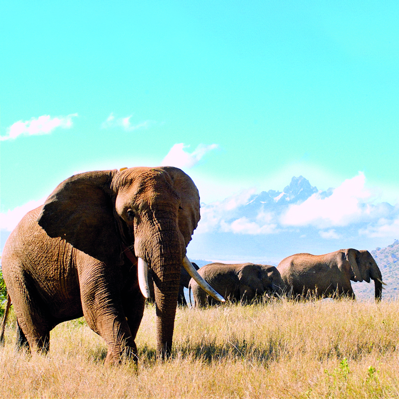
Vegetation structure is very complex both in space and time, and measuring forests presents a particular problem because of their size and form. Traditional forest ecology surveys rely on easy-to-measure characteristics like tree girth and height, along with time-consuming, logistically difficult, and error-prone destructive sampling. There is now a drive to reduce the errors in biomass estimates and carbon dynamics in forests in order to better understand the role of forests in global ecosystem dynamics and climate change processes. This is the key role for TLS, and along with deployment of commercial instruments, new TLS technologies are being developed to enhance and extend the range of forest ecology measurements that can be made.
“There is now a drive to reduce the errors in biomass estimates and carbon dynamics in forests in order to better understand the role of forests in global ecosystem dynamics and climate change processes.”
How do the papers in this issue showcase TLS technology?
The collection of papers represents a good cross-section of the current research exploring the application of TLS in forest ecology. Papers in the issue show how TLS is being used to estimate the carbon content of complete forest stands, map the 3D distribution of foliage and leaf moisture in forest canopies, and provide input data for ecological models. Other papers describe the development of new TLS devices that are being used to derive information on forest structure, including novel multi-wavelength instruments designed specifically to measure forests.
What are the difficulties facing the use of TLS instruments?
Current commercially available TLS can measure the 3D structure of trees in unprecedented detail and promise to significantly reduce the uncertainties in measuring the biomass of individual trees. Measuring complete forest stands is more challenging because TLS requires a ‘line-of-sight’ to all the objects it measures. It is therefore necessary to record data from many positions in order to fully characterize an object. This approach then requires many scans, representing very large data volumes, to be registered together before they can be used. The presence of leaves in forest canopies can also make this challenging. In addition to these measurement challenges, commercial TLS operate in a single laser wavelength, and most do not record the full information on the shape of the backscattered laser signal. This limits the quantitative information that can be extracted from TLS and is the motivation for some of the research developments described in this issue.
How are you involved with the use of TLS technology?
My research at the University of Salford has focused on developing and testing the Salford Advanced Laser Canopy Analyser, or SALCA for short, which is one of the first operational TLS designed specifically to measure forest canopies in 3D. It is a ‘dual-wavelength full-waveform’ TLS that can classify the laser point cloud into leaves and wood using the spectral information from the two lasers. Much of the development and testing of SALCA has been done in collaboration with my co-organisers Rachel Gaulton (Newcastle University), Mat Disney (UCL), Crystal Schaaf (University of Massachusetts Boston), and the wider collaborative research network, the Terrestrial Laser Scanner International Interest Group, coordinated by Alan Strahler (Boston University). The papers in the issue illustrate the interdisciplinary nature of the work undertaken by researchers in the field, and the desire to apply the results of our research to solve important problems in forest ecology.
Keep up to date with the latest issues of Interface Focus by signing up for article alerts, and browse previous theme issues on the journal website.